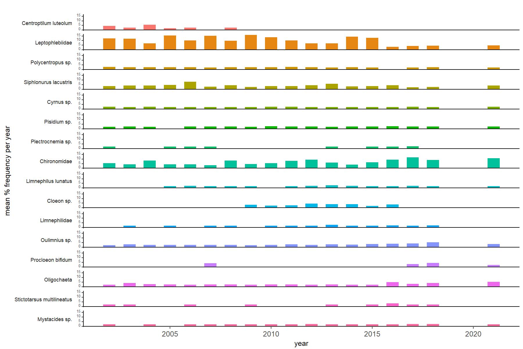
 Site-specific time series plots for water chemistry, and epilithic diatom and macroinvertebrate species data are available via individual site pages. They are displayed as static images.
The UK Upland Waters Monitoring Network has a wide geographical coverage, currently consisting of 11 lakes and 14 streams across the UK, which are monitored chemically, physically and biologically.
Site-specific time series plots for water chemistry, and epilithic diatom and macroinvertebrate species data are available via individual site pages. They are displayed as static images.
Photo credits in 'Sites' section: